La Foce - San Casciano


 Accomodation
 Bar
Bar
 Bike rent
 Bike repairs
 Bike Tour Guides
 Bus line
 Campsites
 Car parking
 Chianina IGP farms
 Churches
 Etruscan archaeological sites
 Fontanelli
 Grand Ducal farms
 Highway exit
 Information point
 Municipality
 Museum
 old village
 Panoramic point
 Parks and Gardens
 Path on foot
 Pharmacy
 Picnic area
 Railway station
 RV parking
 Where to eat
 Works of reclamation
La Foce - San Casciano
33.8
Km - Percorso in bici
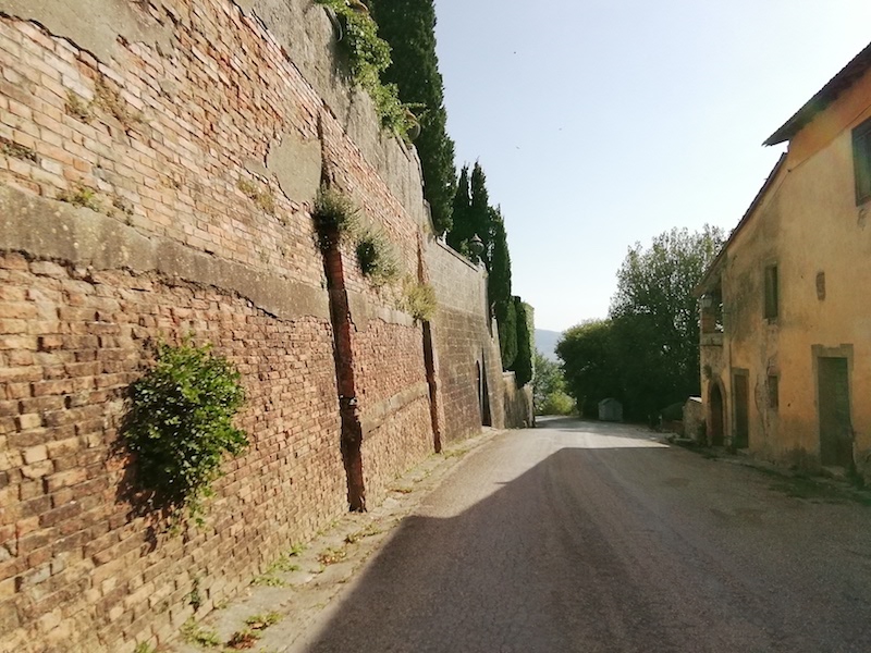
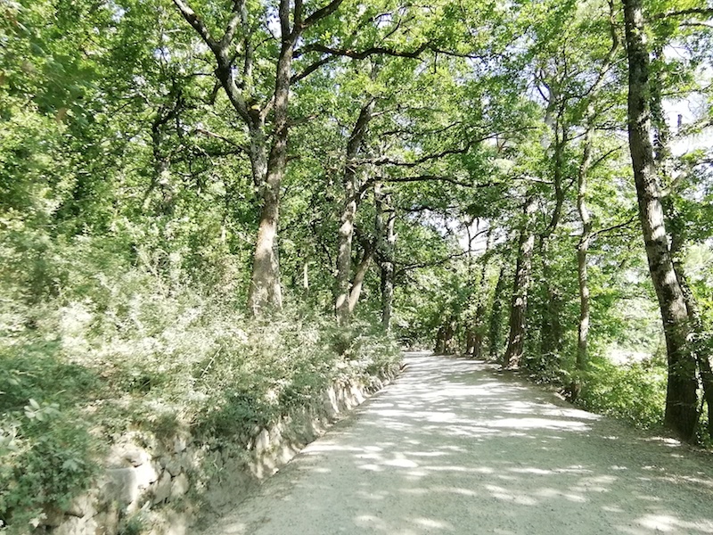
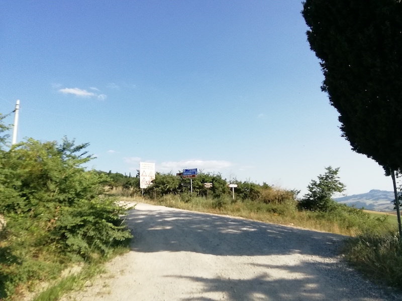
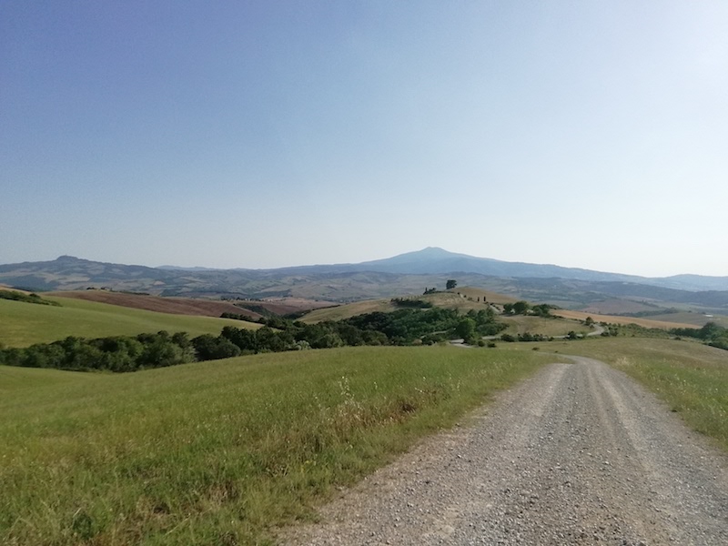
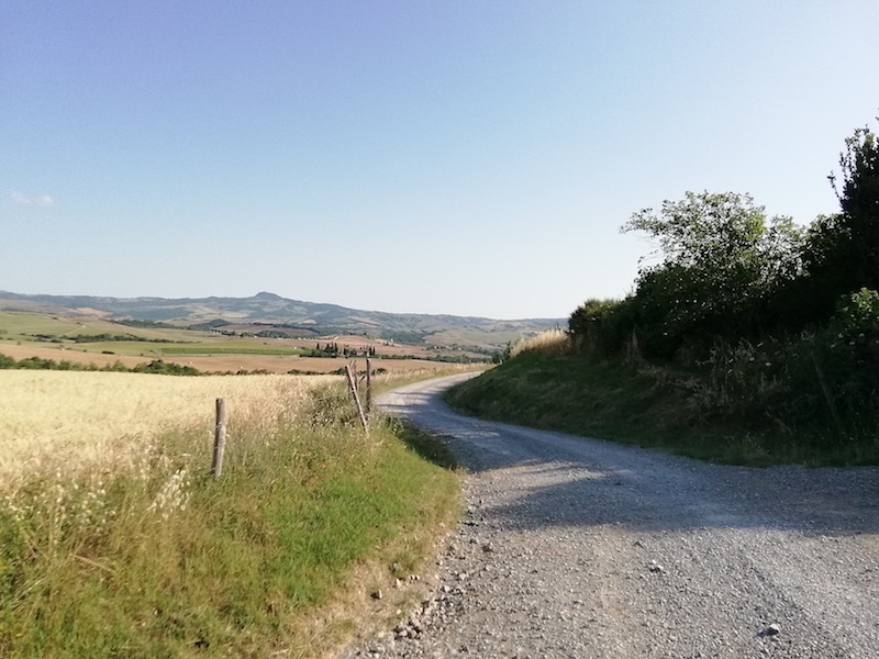
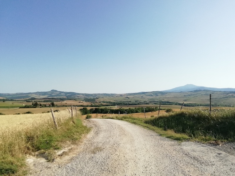
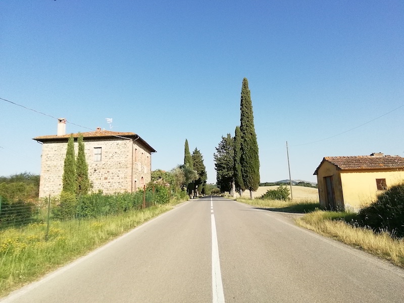
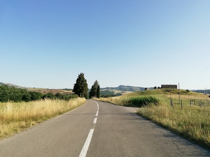
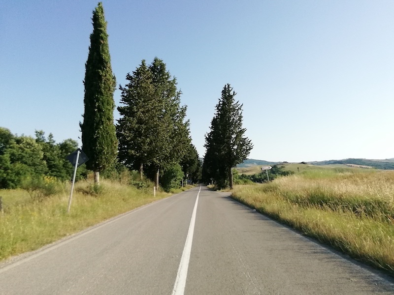
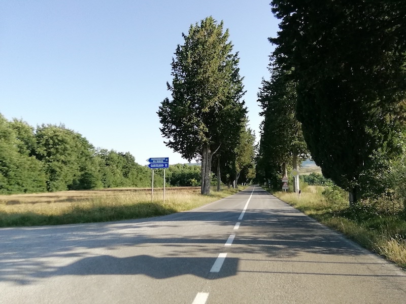
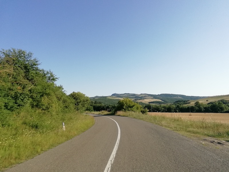
The next leg of the route takes you from La Foce to San Casciano dei Bagni, a challenging section of about 35 km, whose first stretch of unpaved road runs along the border separating Valdorcia (east) and the dense woods of the Pietraporciana Nature Reserve (west). Before the road turns east making its way back to the hills of Valdorcia, it is possible to take a detour to visit Castiglioncello del Trinoro (part of the municipality of Sarteano) which is traditionally referred to as Castrum Trinum Latronum (Castle of the three thieves), ready to extort money to pilgrims and wayfarers passing along the Via Francigena.
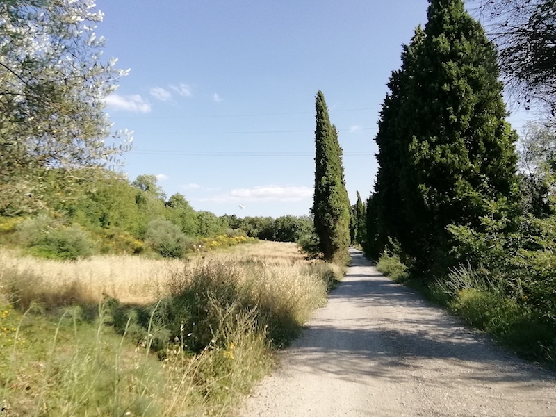
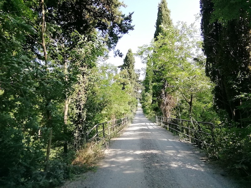
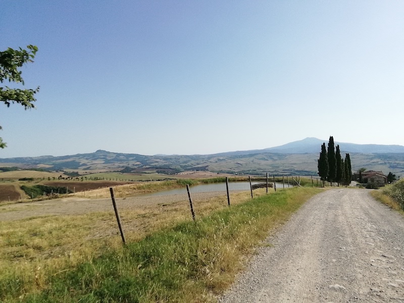
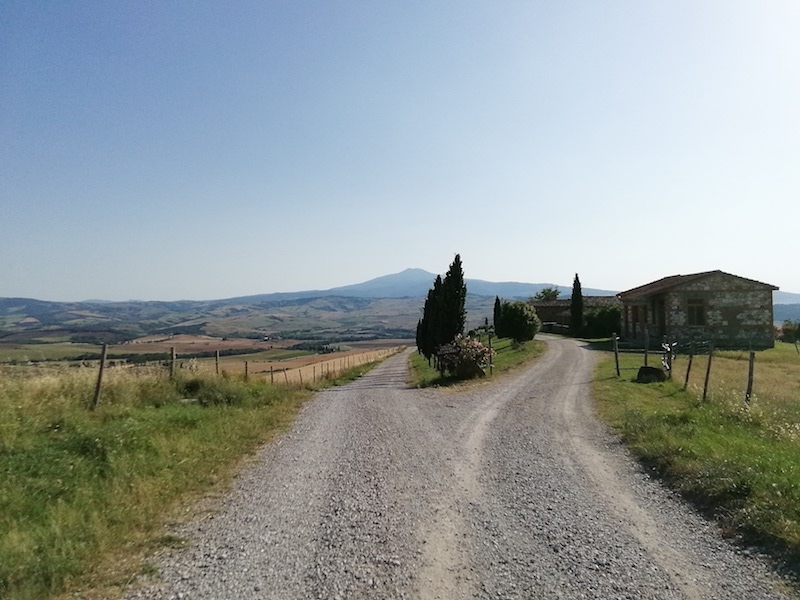
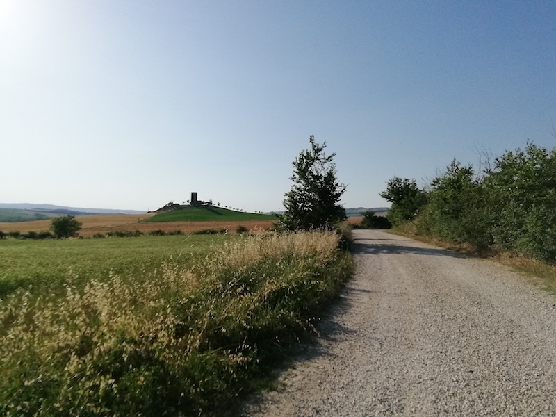
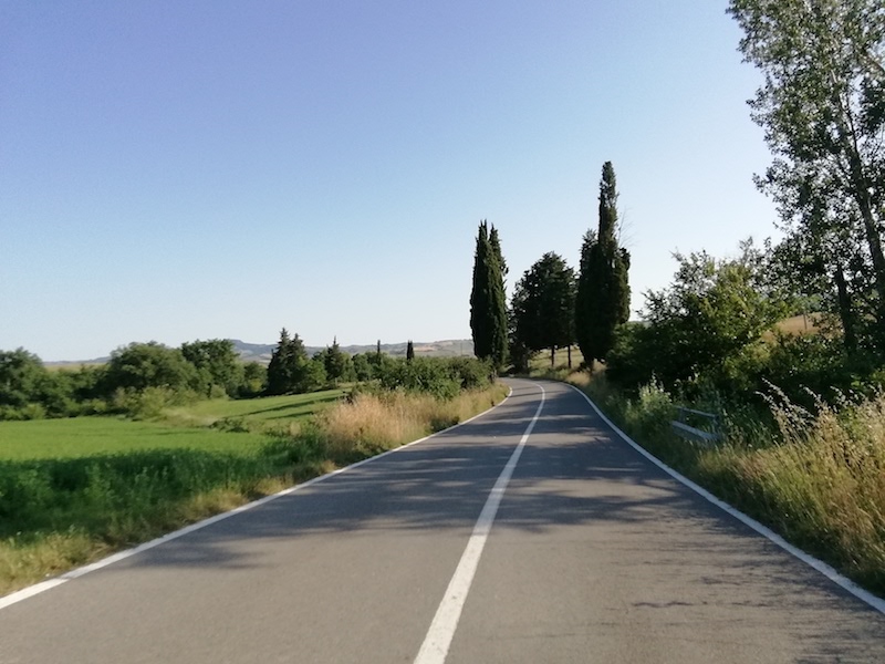
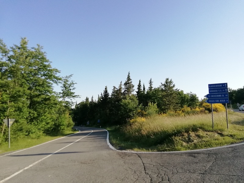
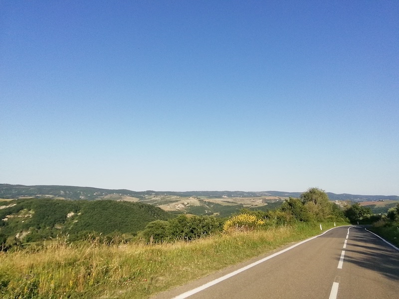
A little further along the route, before entering the paved SP53, you meet another point of interest: Torre Tarugi, an ancient convent that over the centuries has been a watchtower, later a farm and today an accommodation facility. Continuing along the provincial road, we finally reach Celle sul Rigo, a 13th century village. A remarkable feature of its square is the hexagonal well in travertine marble. From here you can also enjoy a magnificent view. Leaving Celle sul Rigo you get to San Casciano dei Bagni, one of the villages that was awarded the Touring Club’s Bandiera Arancione (Orange Flag) for excellency in tourism, hospitality and the environment. Probably of Etruscan origin, it has been frequented throughout history especially for its thermal springs, whose water reaches around 40 °C temperatures and which today are still the driving force for the economic development of the entire municipality.
13.4 Km
27.5 Km
9.1 Km
33.8 Km
14.5 Km
14.4 Km
24.5 Km
11.5 Km
17.3 Km
13.2 Km
12.2 Km
13.8 Km
32.0 Km
12.5 Km
10.7 Km
13.4 Km
10.2 Km
6.9 Km
8.5 Km
| Type of route | Mixed traffic road | ||||||||
| Traffic |
|
||||||||
| Distance (km) | 33.8 | ||||||||
| Altitude min (m asl) | 326 | ||||||||
| Altitude max (m asl) | 604 | ||||||||
| Elevation gain (m) | 622 | ||||||||
| Elevation loss (m) | 601 | ||||||||
| Cumulative elevation (m) | 1223 | ||||||||
| Level of difficulty | Challenging | ||||||||
| Main road surface | Asphalt 80%; Unpaved road 20% | ||||||||
| Types of bike | MTB, GRAVEL | ||||||||
| Interesting sites | La Foce, Castiglioncello del Trinoro, Torre Tarugi, Celle sul Rigo, San Casciano |