Chiusi_Valiano


 Accomodation
 Bar
Bar
 Bike rent
 Bike repairs
 Bike Tour Guides
 Bus line
 Campsites
 Car parking
 Chianina IGP farms
 Churches
 Etruscan archaeological sites
 Fontanelli
 Grand Ducal farms
 Highway exit
 Information point
 Municipality
 Museum
 old village
 Panoramic point
 Parks and Gardens
 Path on foot
 Pharmacy
 Picnic area
 Railway station
 RV parking
 Where to eat
 Works of reclamation
Chiusi_Valiano
24.5
Km - Percorso in bici
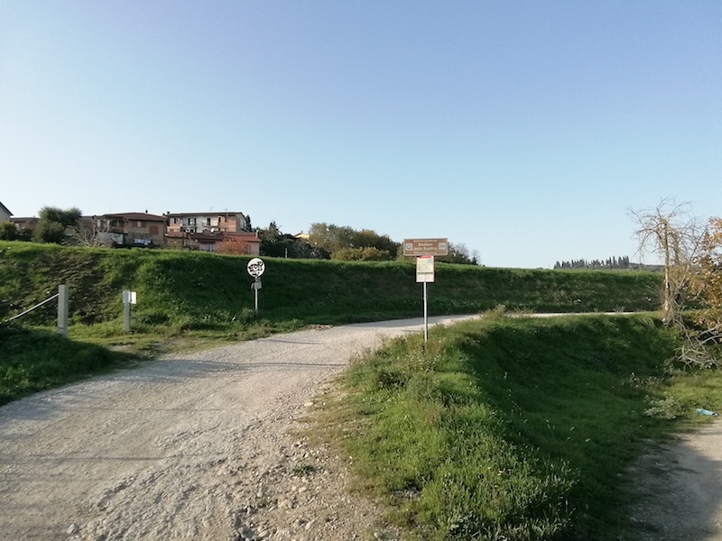
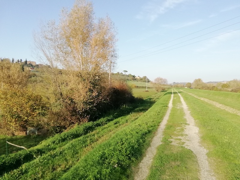
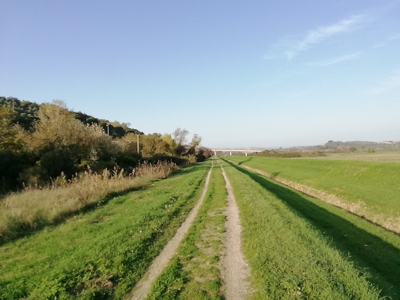
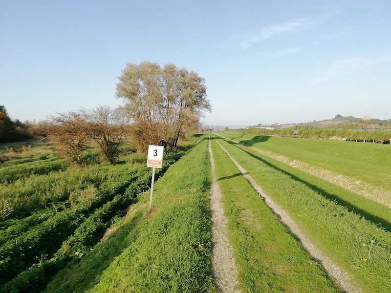
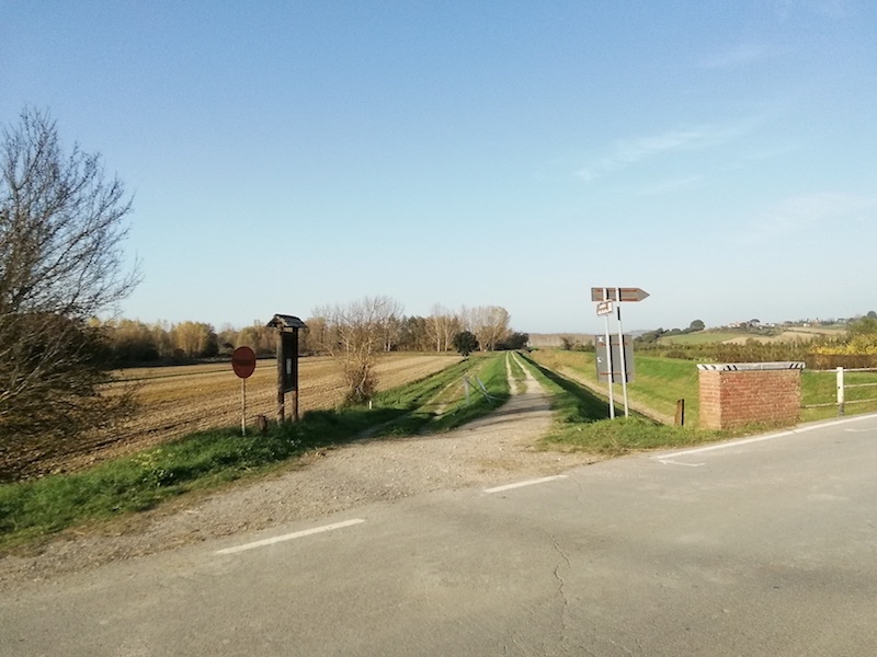
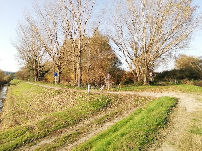
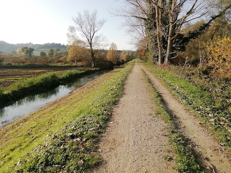
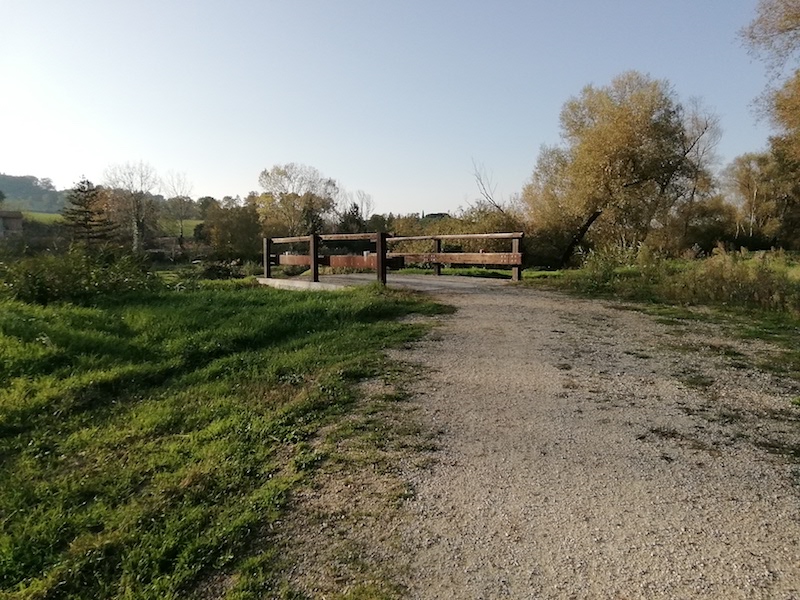
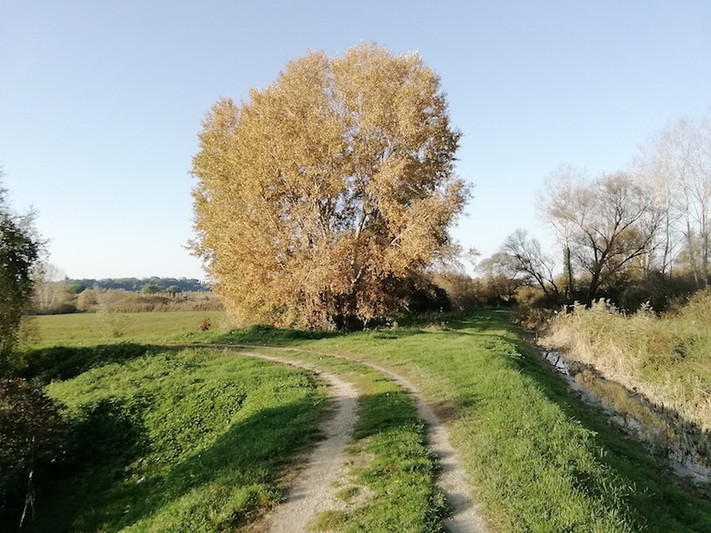
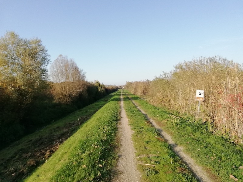
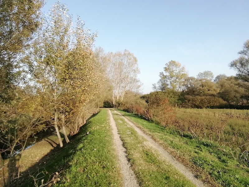
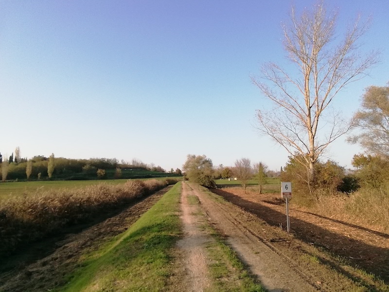
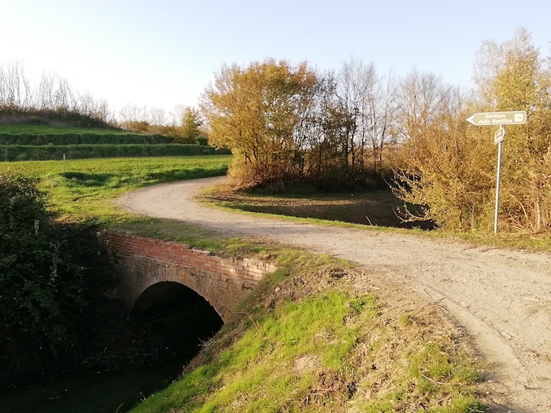
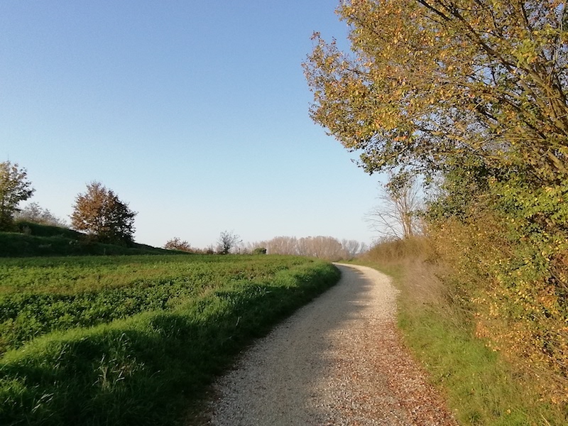
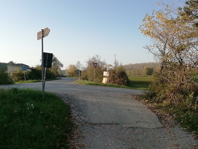
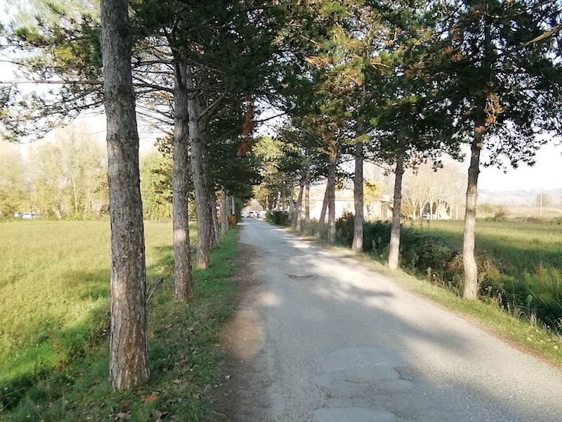
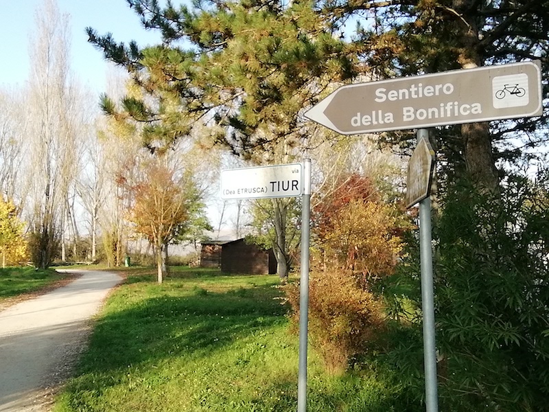
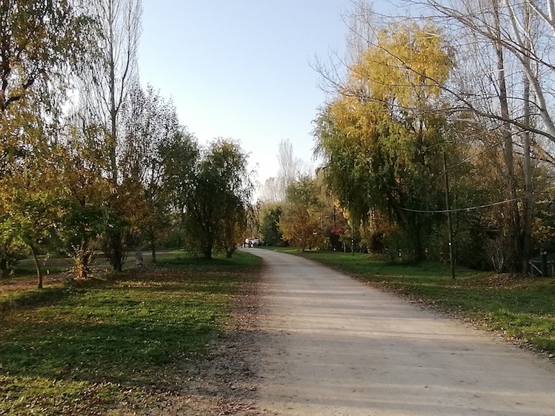
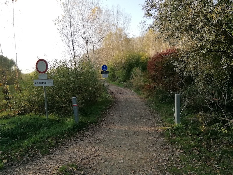
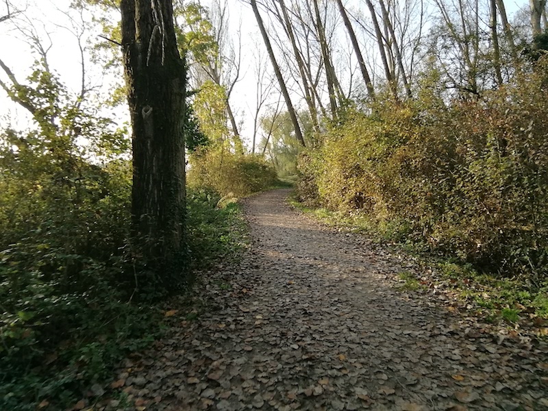
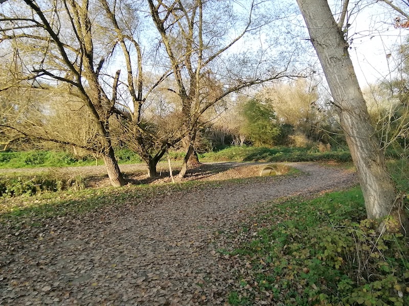
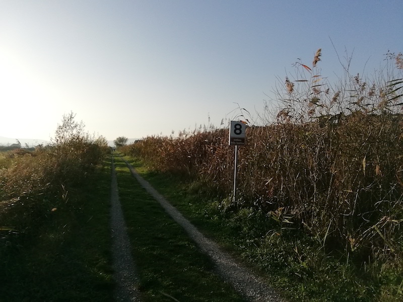
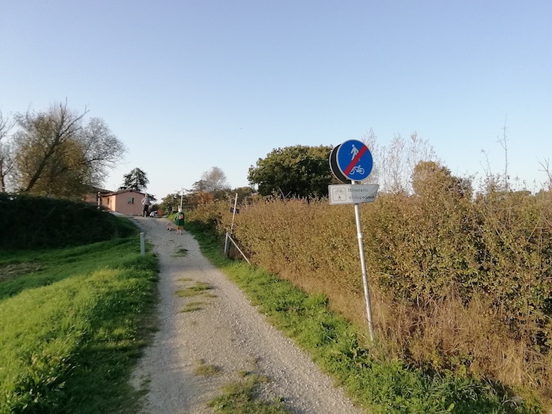
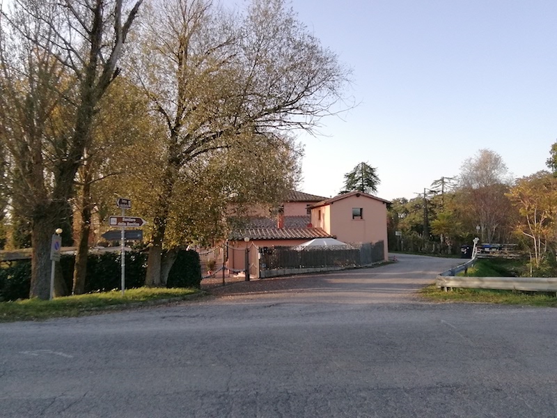
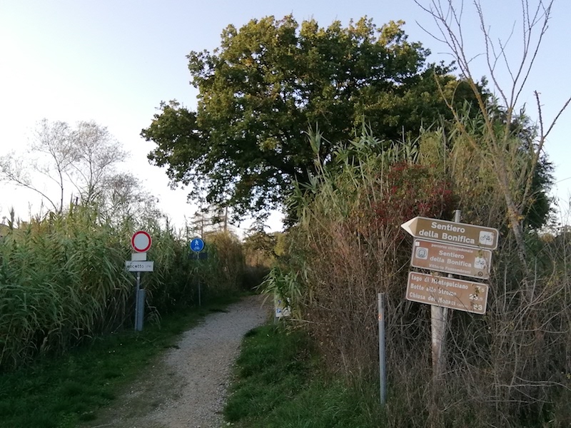
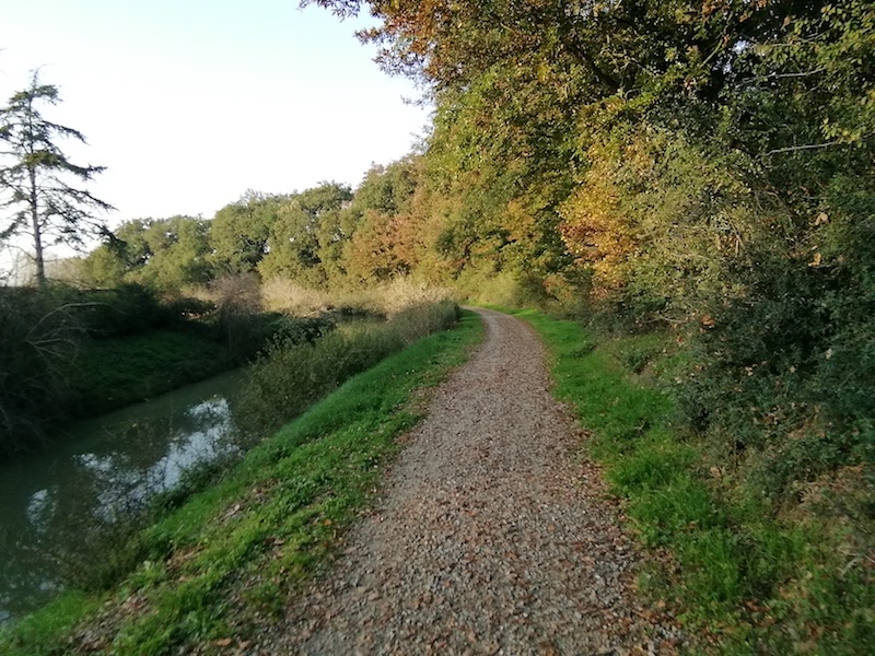
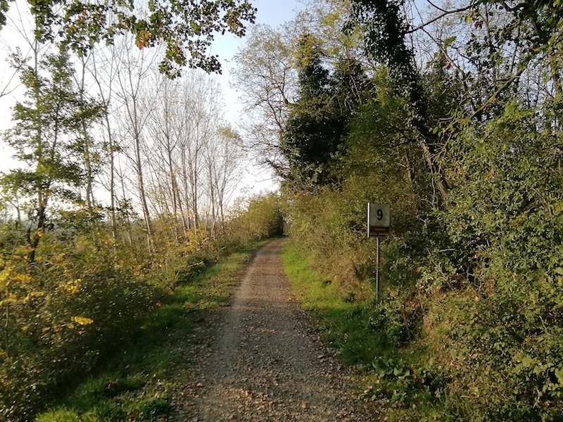
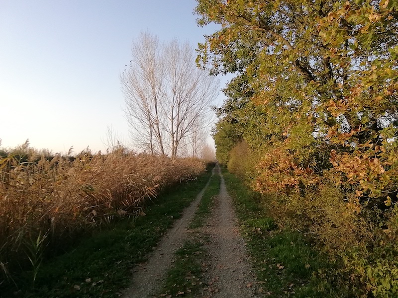
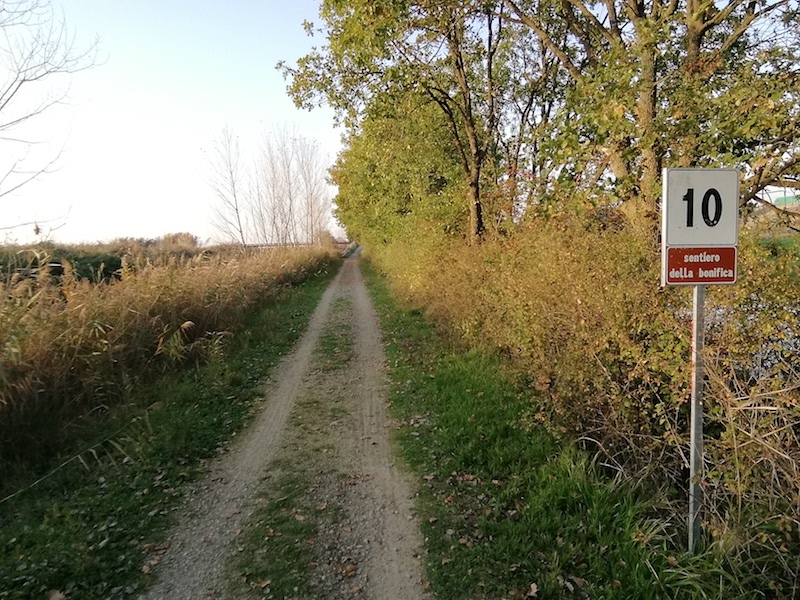
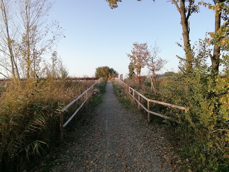
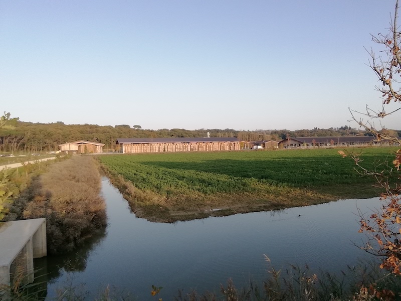
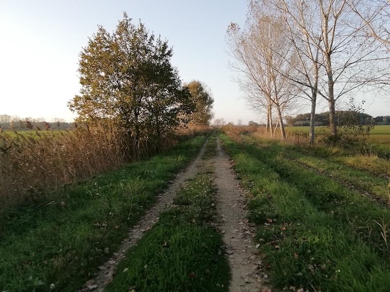
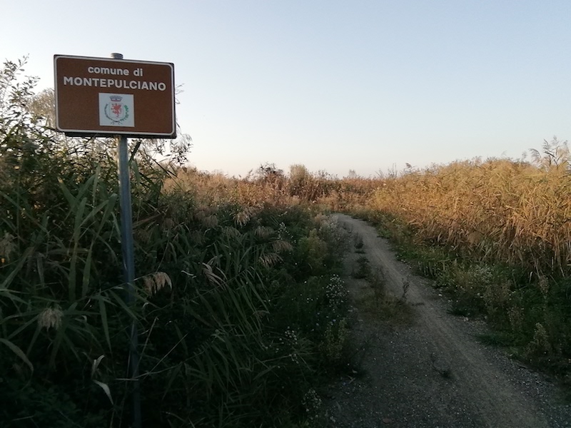
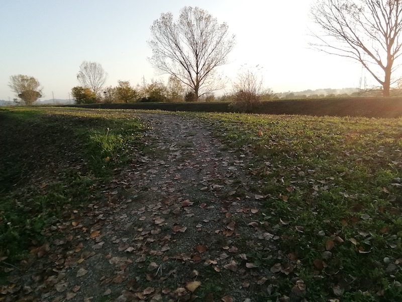
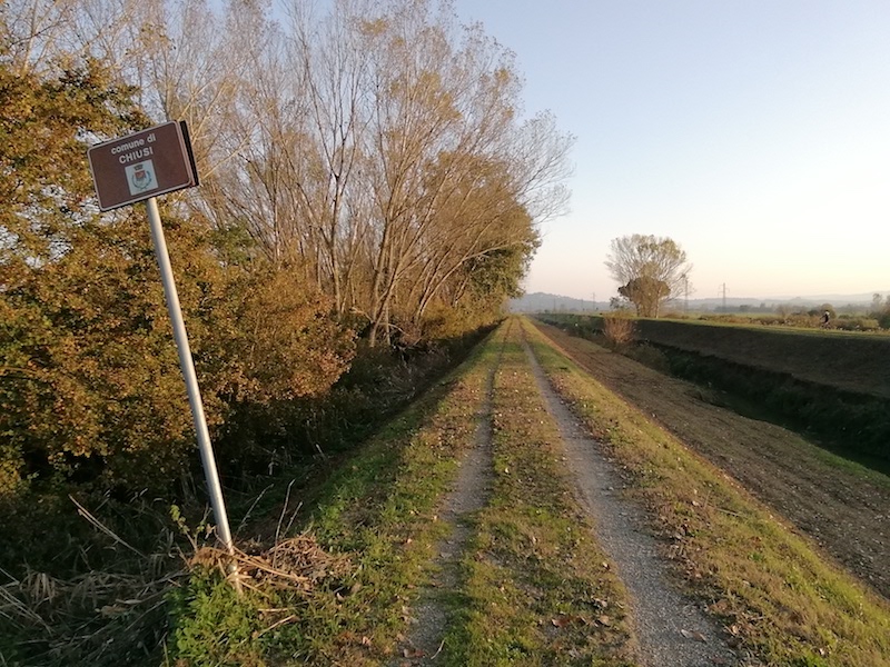
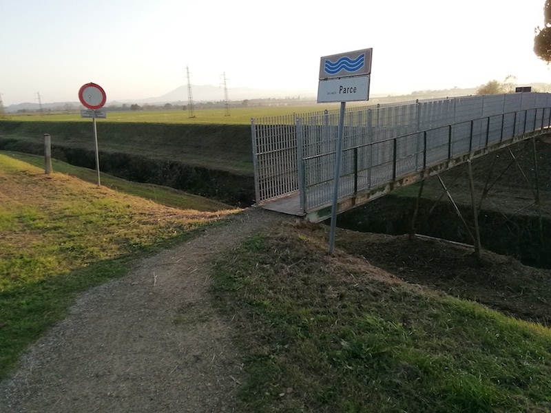
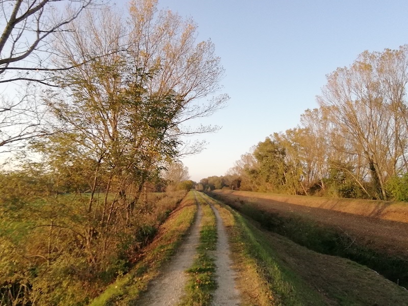
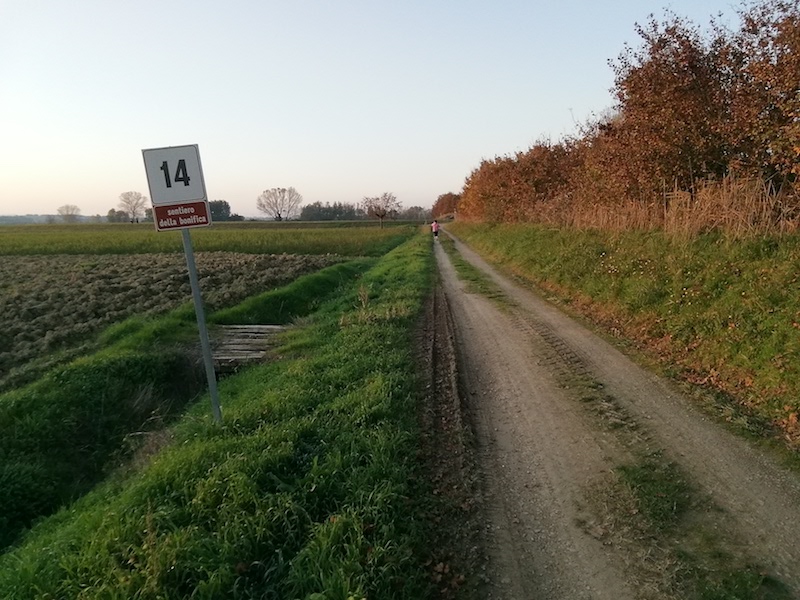
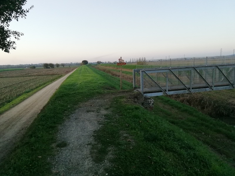
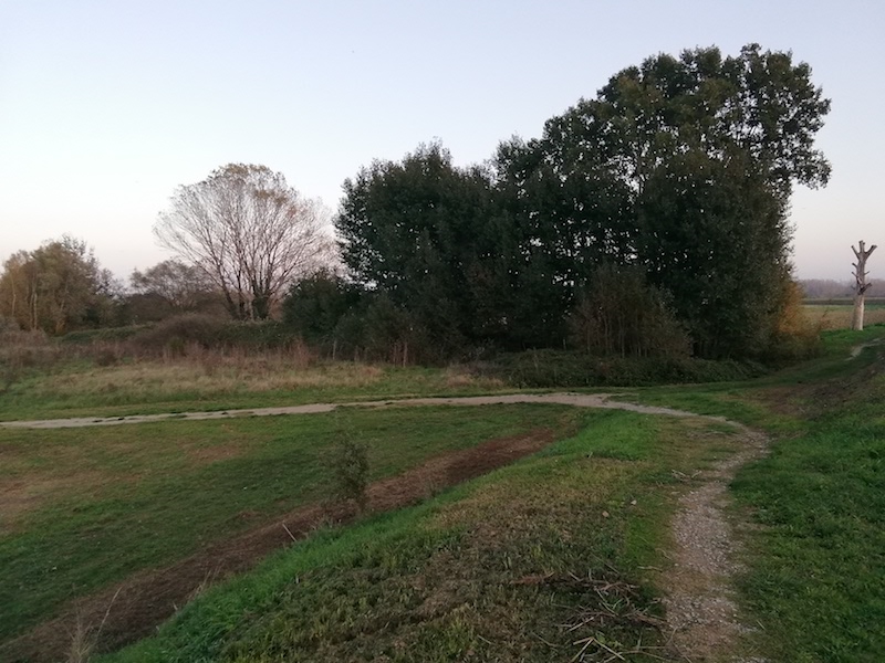
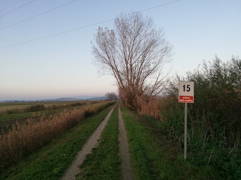
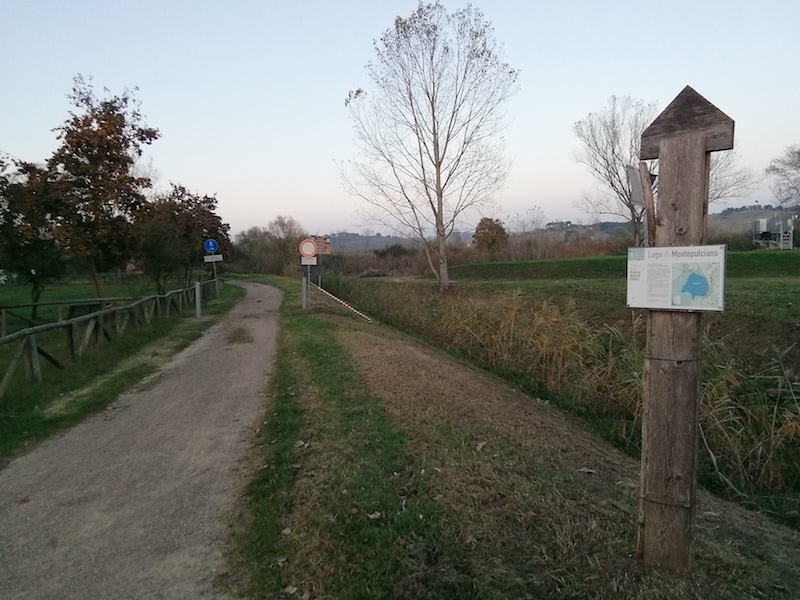
From Chiusi the route continues towards Valiano, the end point of this section. The stretch is very easy and runs mostly along the “Sentiero della Bonifica”. In this leg of the journey you can admire the beauty of Valdichiana by following the course of the ancient river Clanis, today Canale Maestro della Chiana, which for millennia has influenced the fate of this flourishing and fragile valley. You cross the lakes of Chiusi and Montepulciano (also a Nature Reserve where you can do birdwatching), two relics of the ancient Pliocene lake of the Valdichiana. Here you can enjoy relaxing moments along the way and take advantage of the picnic areas. Shortly after the Lake of Montepulciano, the route leaves the “Sentiero della Bonifica” to head towards Valiano, an ancient castle strategically located on the border between Umbria and Tuscany. After stopping in the village for some sightseeing, it is worth visiting an important and suggestive hydraulic work of the Clanis, known as “Callone di Valiano”. Recently renovated, the structure was built in 1723 to regulate the water level of the lakes of Montepulciano and Chiusi, and ensure the navigability of the Canale Maestro, which for a long time represented the main transport route for agricultural products to Arezzo and Florence.

13.4 Km
27.5 Km
9.1 Km
33.8 Km
14.5 Km
14.4 Km
24.5 Km
11.5 Km
17.3 Km
13.2 Km
12.2 Km
13.8 Km
32.0 Km
12.5 Km
10.7 Km
13.4 Km
10.2 Km
6.9 Km
8.5 Km
| Type of route | Mixed traffic road | ||||||||||||
| Traffic |
|
||||||||||||
| Distance (km) | 24.5 | ||||||||||||
| Altitude min (m asl) | 247 | ||||||||||||
| Altitude max (m asl) | 302 | ||||||||||||
| Elevation gain (m) | 127 | ||||||||||||
| Elevation loss (m) | 078 | ||||||||||||
| Cumulative elevation (m) | 205 | ||||||||||||
| Level of difficulty | Easy | ||||||||||||
| Main road surface | Asphalt 22%; Unpaved road 78% | ||||||||||||
| Types of bike | MTB, GRAVEL | ||||||||||||
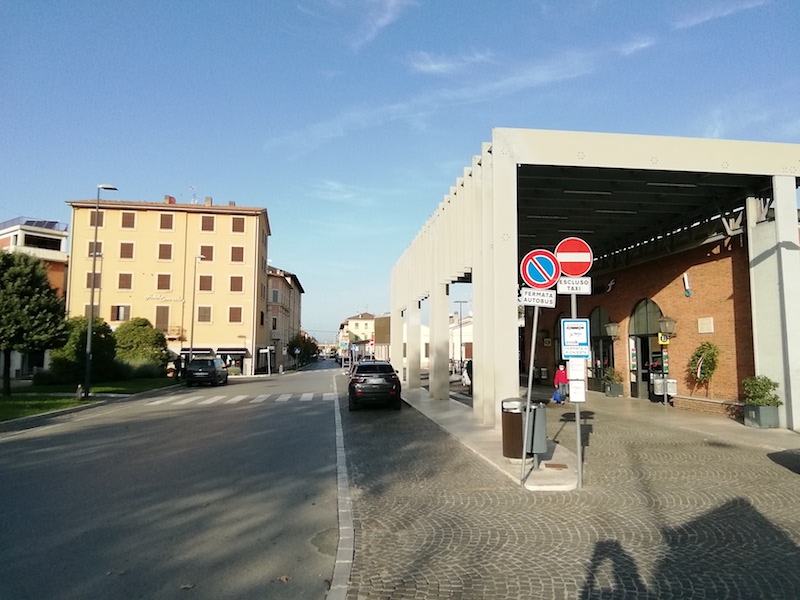
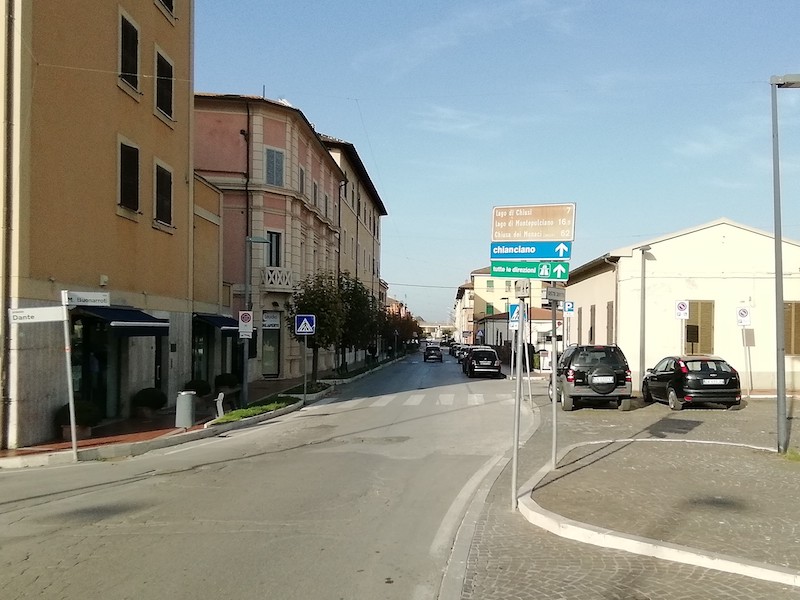
| Interesting sites | Chiusi Stazione, Chiusi città (6 min. by bike from Chiusi Station), Lake of Chiusi, Lake of Montepulciano, Valiano, Callone di Valiano (5 min by bike from Valiano along the “Sentiero della Bonifica”). |