San Casciano - Cetona


 Accomodation
 Bar
Bar
 Bike rent
 Bike repairs
 Bike Tour Guides
 Bus line
 Campsites
 Car parking
 Chianina IGP farms
 Churches
 Etruscan archaeological sites
 Fontanelli
 Grand Ducal farms
 Highway exit
 Information point
 Municipality
 Museum
 old village
 Panoramic point
 Parks and Gardens
 Path on foot
 Pharmacy
 Picnic area
 Railway station
 RV parking
 Where to eat
 Works of reclamation
San Casciano - Cetona
14.5
Km - Percorso in bici
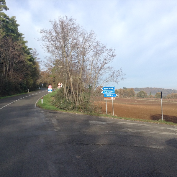
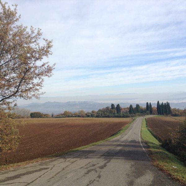
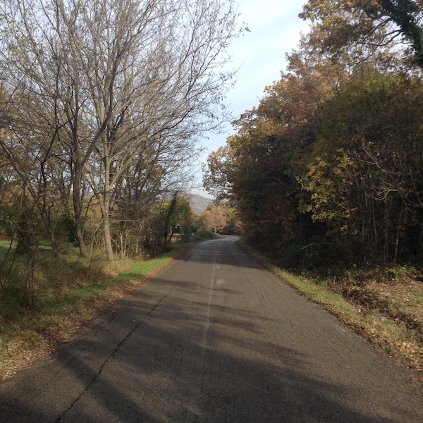
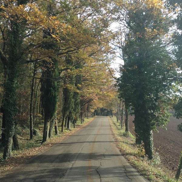
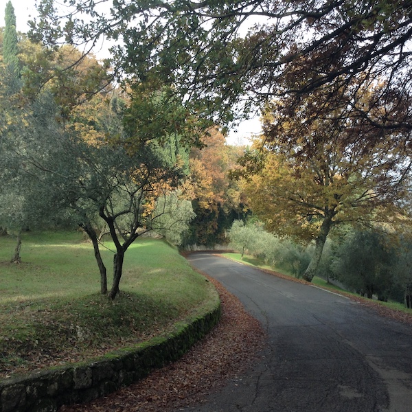
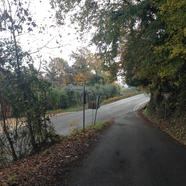
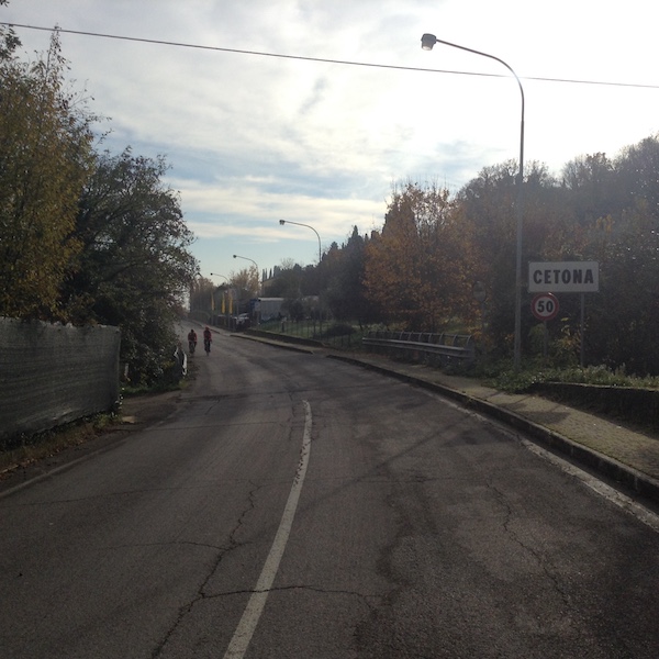
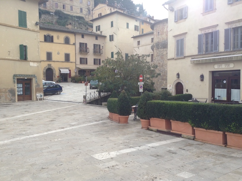
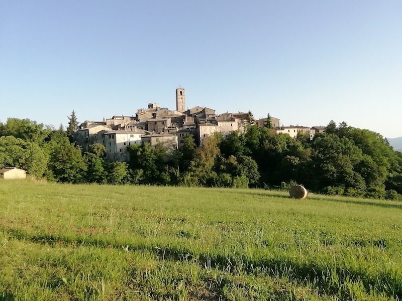
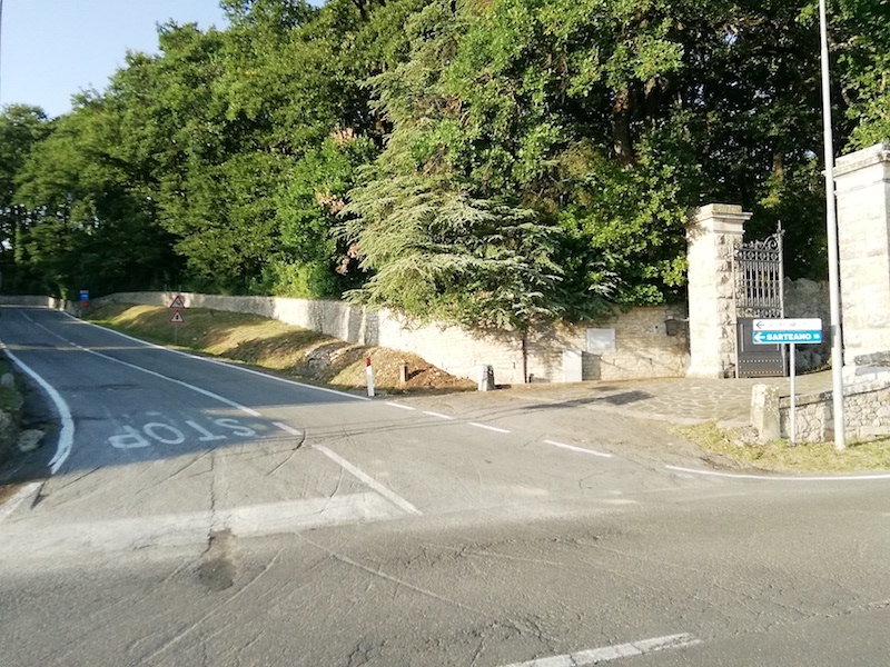
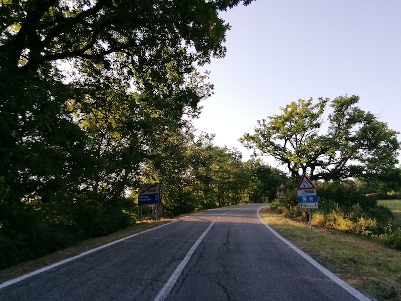
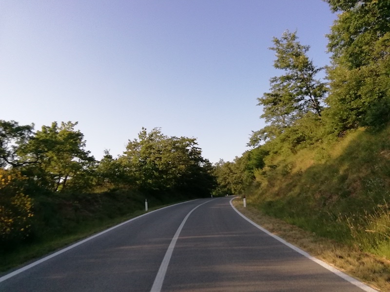
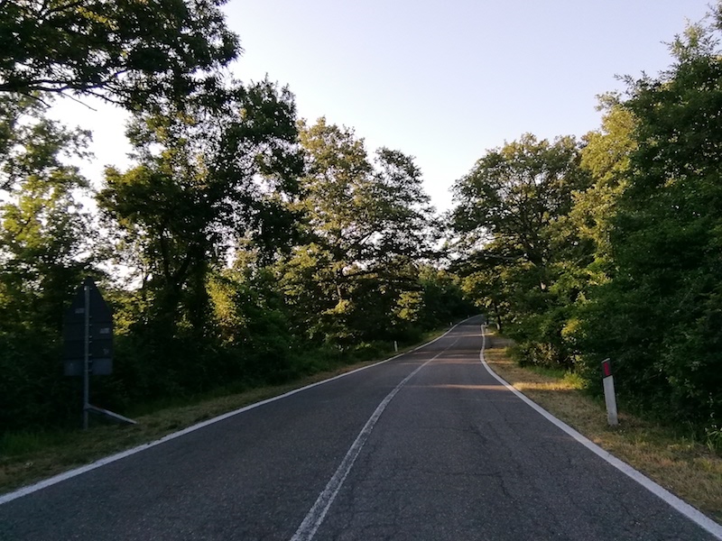
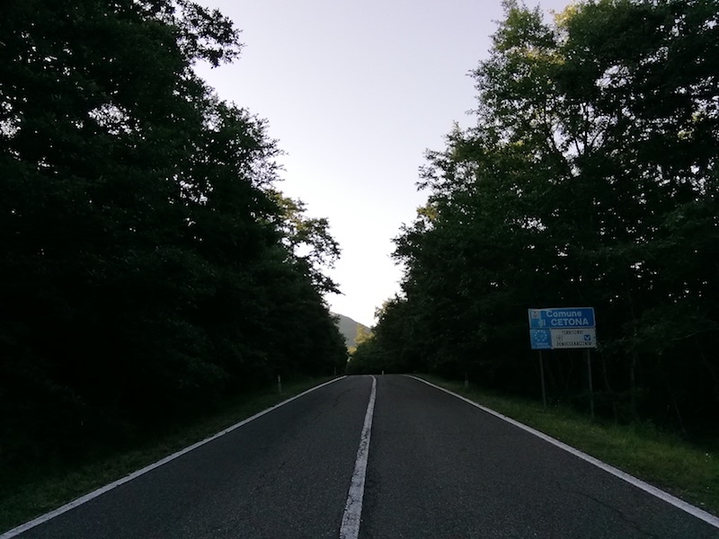
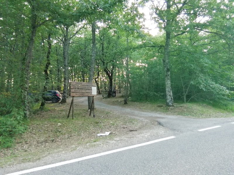
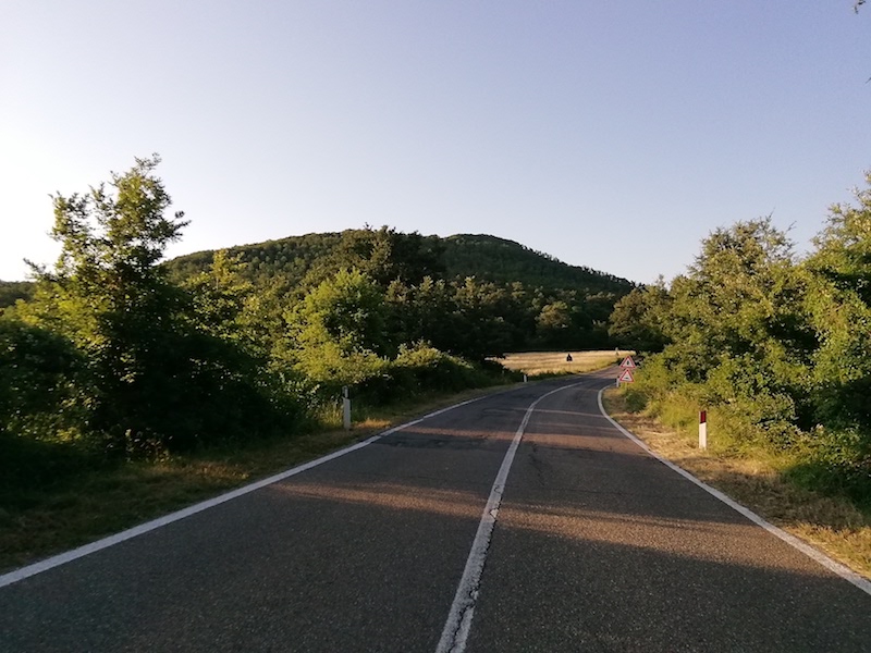
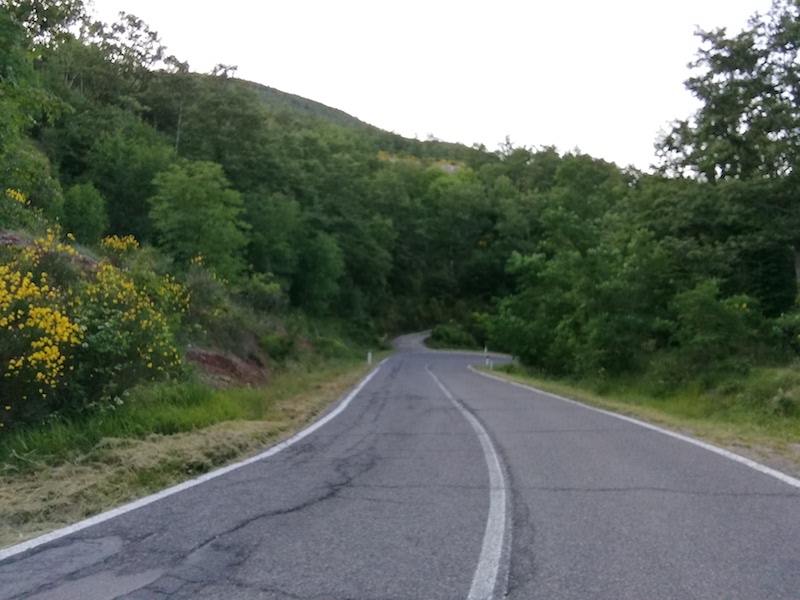
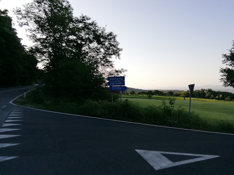
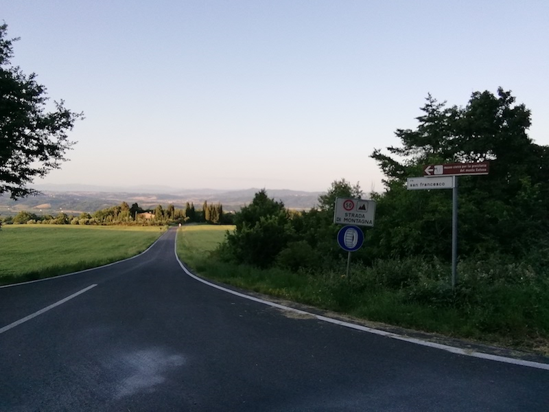
After visiting San Casciano, the route continues with a leg of about 15 km that leads to Cetona. The road first runs along the ridge that separates Valdorcia and Valdichiana and then leads along the slopes of Mount Cetona, a real indicator along the entire route. Along the road there is the Belverde Archaeological Park where you can ask for information and take guided tours of the prehistoric settlements and caves of the Bronze Age. The presence of picnic areas within the park will make for a pleasant stop before leaving for Cetona, where you can visit the Civic Museum of Prehistory of Monte Cetona located inside the 16th Century Palazzo Comunale (Town Hall), which illustrates the main stages of the history of human population who inhabited this area. Cetona has been included in the list of the “Borghi più Belli d’Italia” (the most beautiful villages in Italy) since 2001 and it only takes a tour of its square and its streets to understand why.
13.4 Km
27.5 Km
9.1 Km
33.8 Km
14.5 Km
14.4 Km
24.5 Km
11.5 Km
17.3 Km
13.2 Km
12.2 Km
13.8 Km
32.0 Km
12.5 Km
10.7 Km
13.4 Km
10.2 Km
6.9 Km
8.5 Km
| Type of route | Mixed traffic road | ||||
| Traffic |
|
||||
| Distance (km) | 14.5 | ||||
| Altitude min (m asl) | 348 | ||||
| Altitude max (m asl) | 794 | ||||
| Elevation gain (m) | 321 | ||||
| Elevation loss (m) | 543 | ||||
| Cumulative elevation (m) | 846 | ||||
| Level of difficulty | Moderate | ||||
| Main road surface | Asphalt | ||||
| Types of bike | MTB, GRAVEL, RACE | ||||
| Interesting sites | San Casciano, Monte Cetona, Parco Archeologico Belverde, Cetona |