Sinalunga-Trequanda


 Accomodation
 Bar
Bar
 Bike rent
 Bike repairs
 Bike Tour Guides
 Bus line
 Campsites
 Car parking
 Chianina IGP farms
 Churches
 Etruscan archaeological sites
 Fontanelli
 Grand Ducal farms
 Highway exit
 Information point
 Municipality
 Museum
 old village
 Panoramic point
 Parks and Gardens
 Path on foot
 Pharmacy
 Picnic area
 Railway station
 RV parking
 Where to eat
 Works of reclamation
Sinalunga-Trequanda
13.4
Km - Percorso in bici
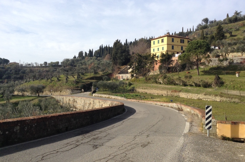
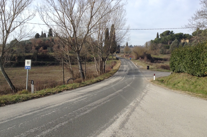
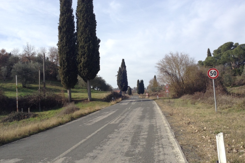
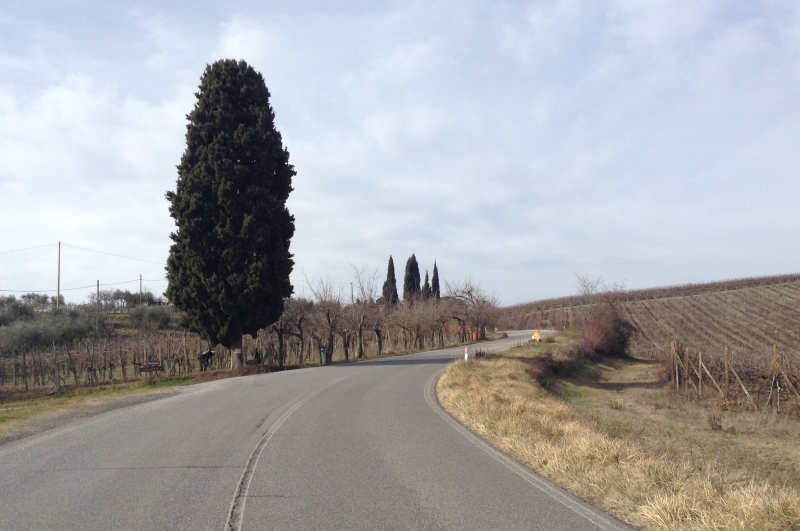
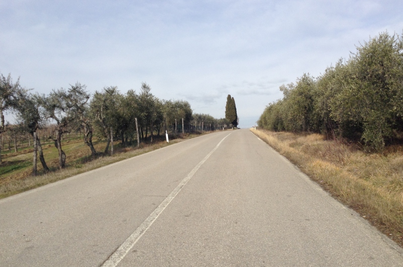
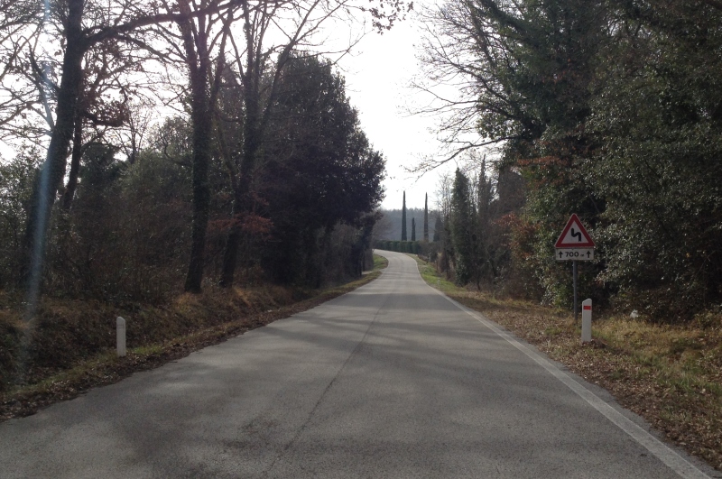
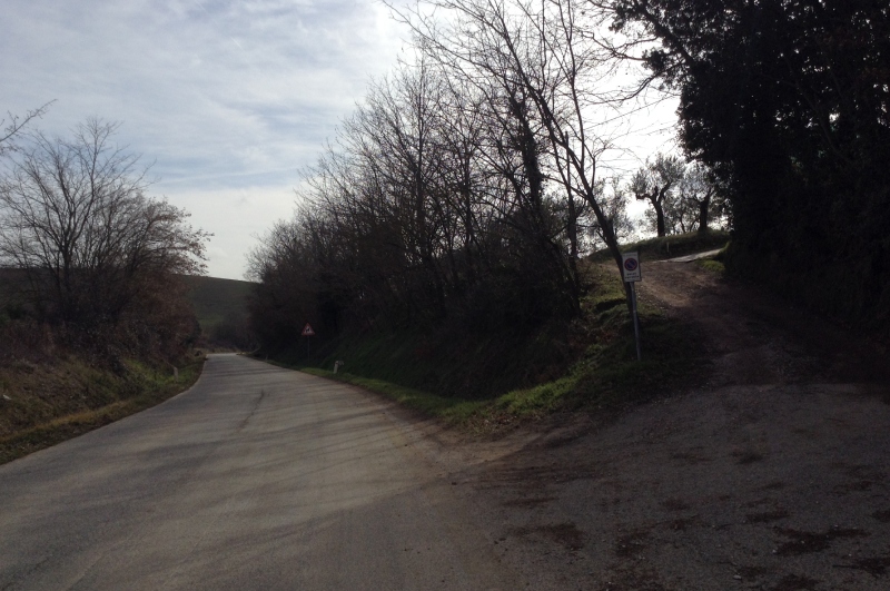
The route starts from the Sinalunga railway station, which is the train-bike interchange point from Arezzo and Chiusi, and arrives in the historic district of Trequanda. From the railway station, where the tourist information point is also located, cycle uphill towards the historic district of Sinalunga entering the imposing Piazza Garibaldi, where there are the Collegiate Church of San Martino, the Church of Santa Croce, the Town Hall and the Church of Madonna delle Nevi. From the main square of Sinalunga, the route continues towards Collalto along a panoramic road surrounded by olive groves, vineyards and ancient farmhouses. Once in Collalto, take the downhill road to Trequanda.
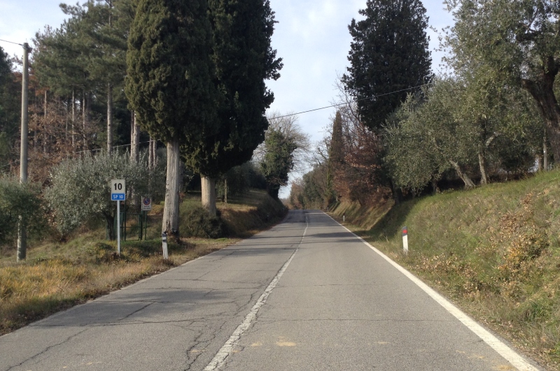
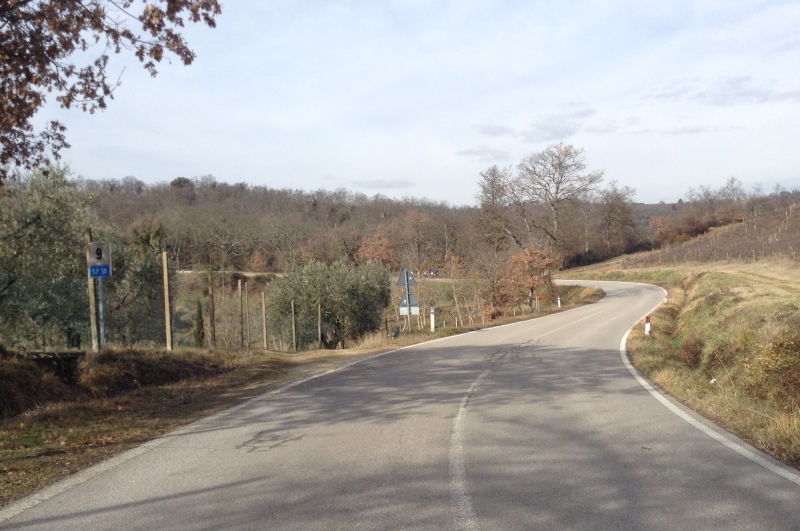
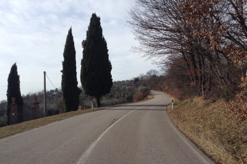
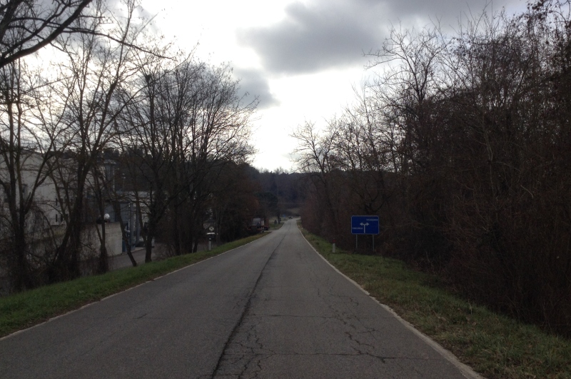
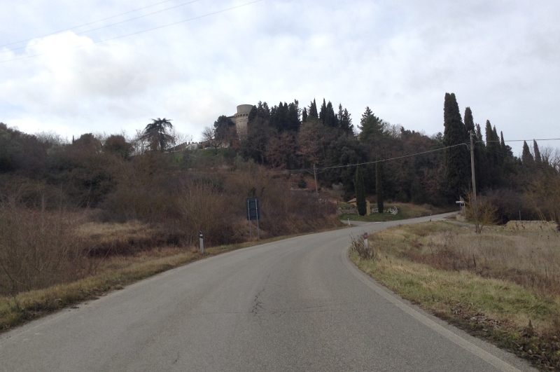
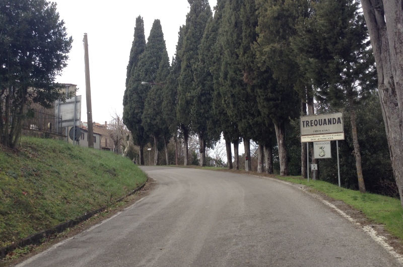
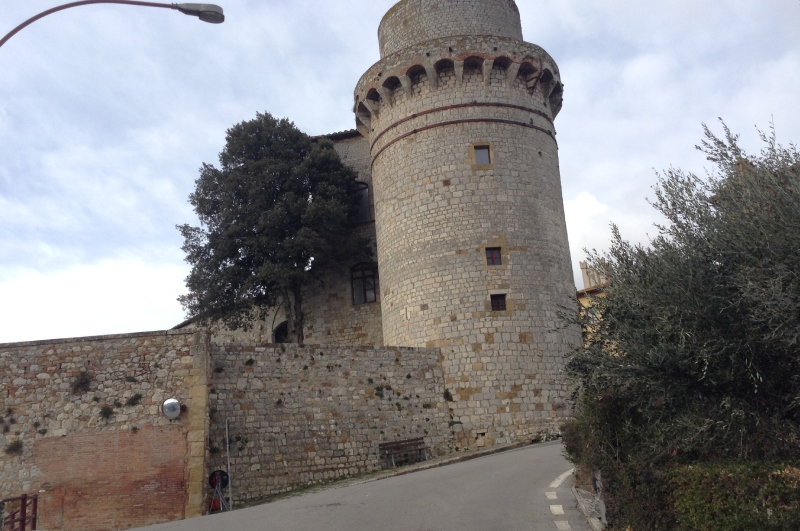
Here the olive groves alternate with woods until reaching the area of Pian delle Fonti from which it is possible to enjoy the view of the castle of Trequanda with its cylindrical tower and, in varying times of the year, also grazing specimens of "White Giant". From Pian delle Fonti continue up towards Trequanda along an avenue of cypresses that climbs the hill along the ancient walls of the village right under the tower.
From here it is possible to enter the evocative square of Trequanda where you can find the Church of Santi Pietro and Andrea characterized by its checkerboard facade and important works of art, along with the town hall, and the Church of the Compagnia dell’Immacolata Concezione.
13.4 Km
27.5 Km
9.1 Km
33.8 Km
14.5 Km
14.4 Km
24.5 Km
11.5 Km
17.3 Km
13.2 Km
12.2 Km
13.8 Km
32.0 Km
12.5 Km
10.7 Km
13.4 Km
10.2 Km
6.9 Km
8.5 Km
| Type of route | Mixed traffic road | ||||||||
| Traffic |
|
||||||||
| Distance (km) | 13.4 | ||||||||
| Altitude min (m asl) | 264 | ||||||||
| Altitude max (m asl) | 503 | ||||||||
| Elevation gain (m) | 322 | ||||||||
| Elevation loss (m) | 154 | ||||||||
| Cumulative elevation (m) | 476 | ||||||||
| Level of difficulty | Easy | ||||||||
| Main road surface | Asphalt | ||||||||
| Types of bike | MTB, GRAVEL, RACING | ||||||||
| Interesting sites | Historic district of Sinalunga, Collalto, Trequanda |