Sentiero del Nobile


 Accomodation
 Bar
Bar
 Bike rent
 Bike repairs
 Bike Tour Guides
 Bus line
 Campsites
 Car parking
 Chianina IGP farms
 Churches
 Etruscan archaeological sites
 Fontanelli
 Grand Ducal farms
 Highway exit
 Information point
 Municipality
 Museum
 old village
 Panoramic point
 Parks and Gardens
 Path on foot
 Pharmacy
 Picnic area
 Railway station
 RV parking
 Where to eat
 Works of reclamation
Sentiero del Nobile
18.3
Km - Percorso in bici
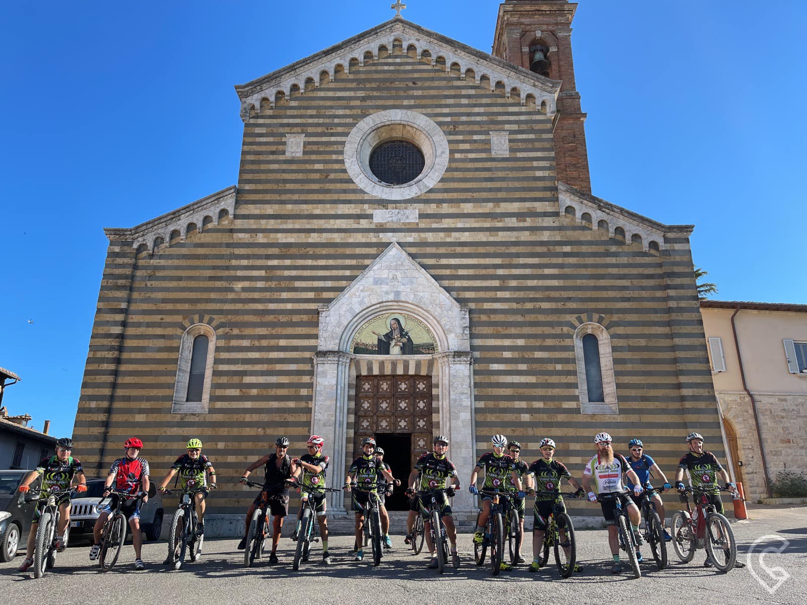
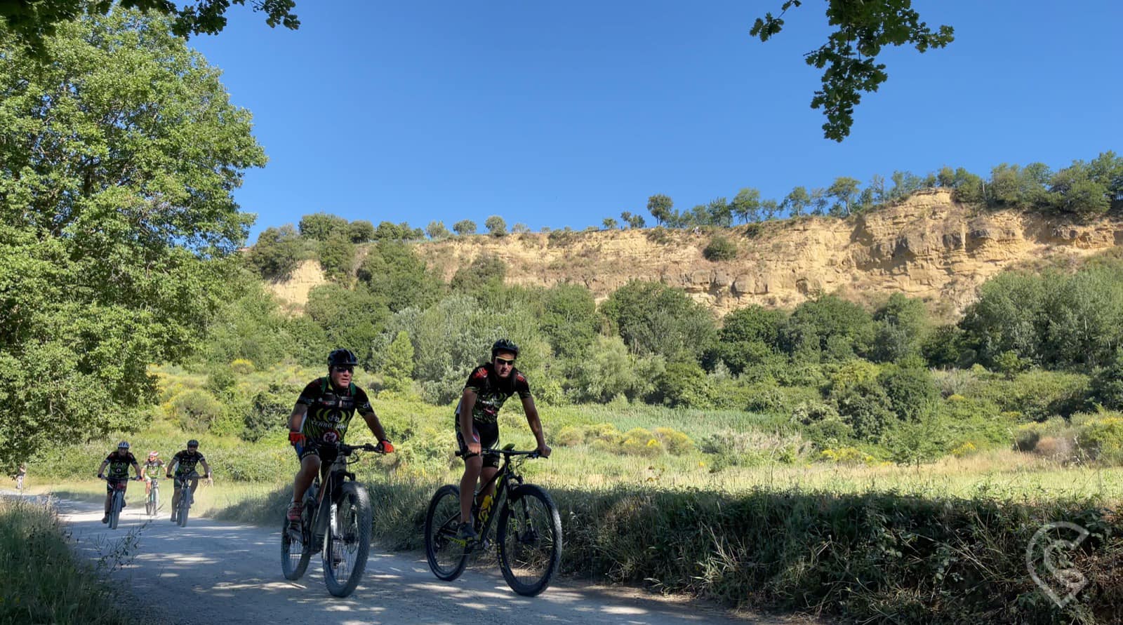
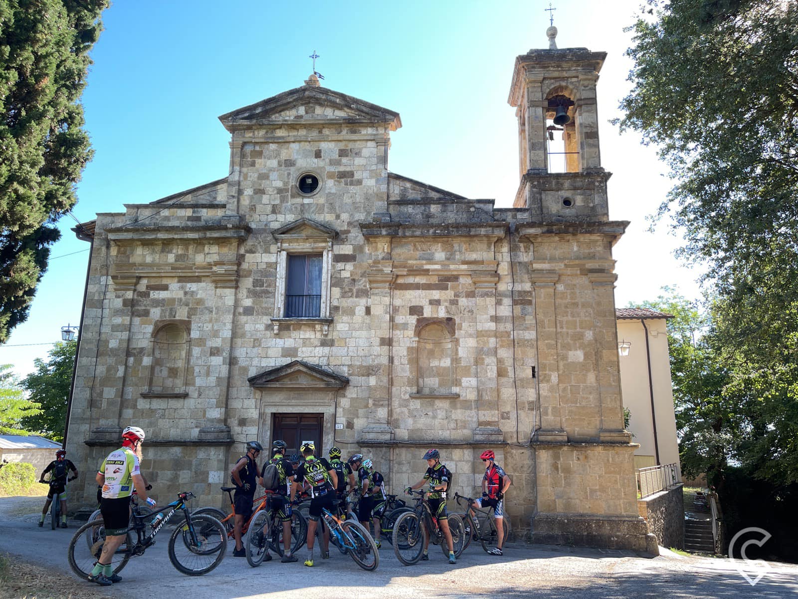
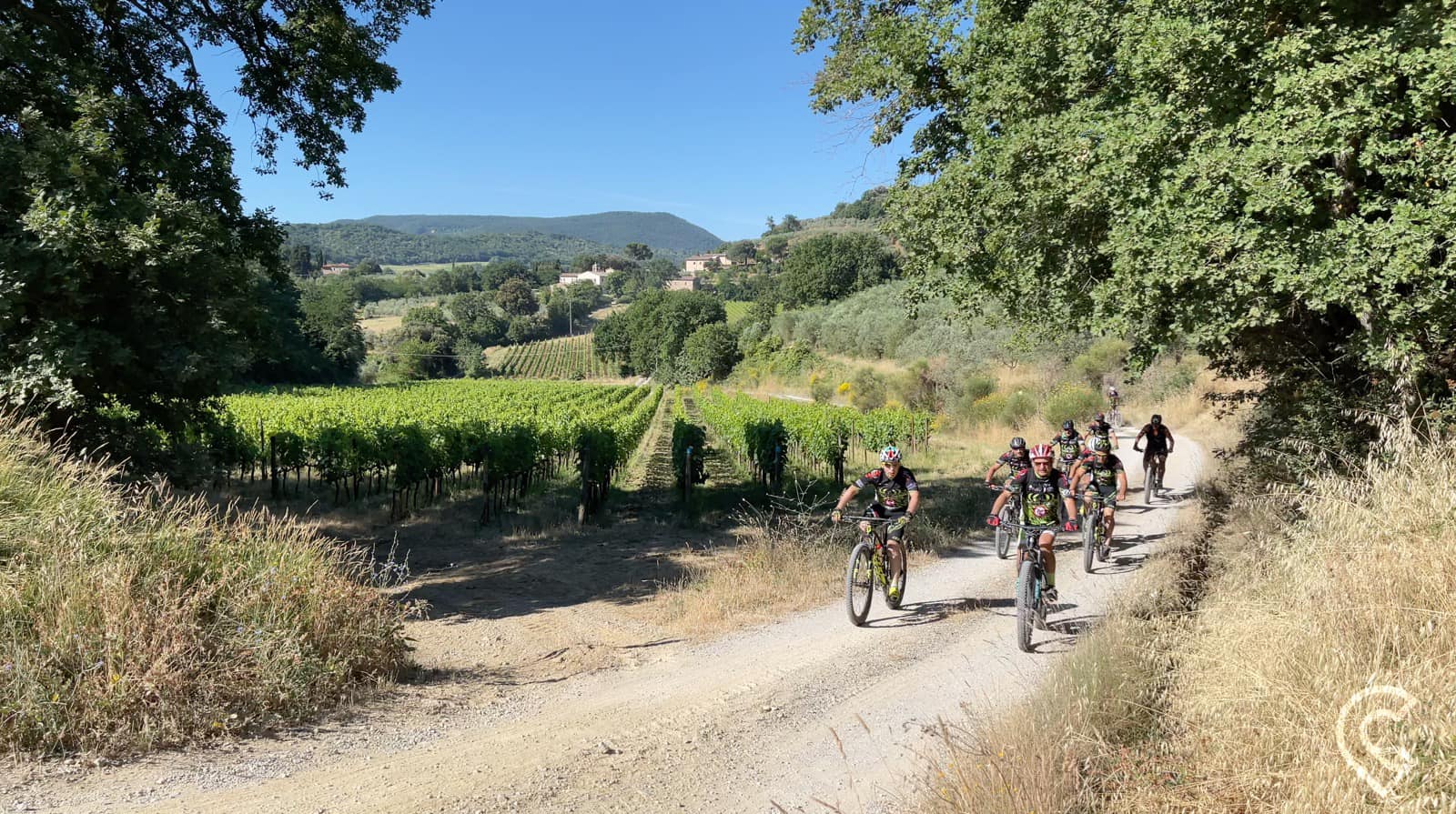
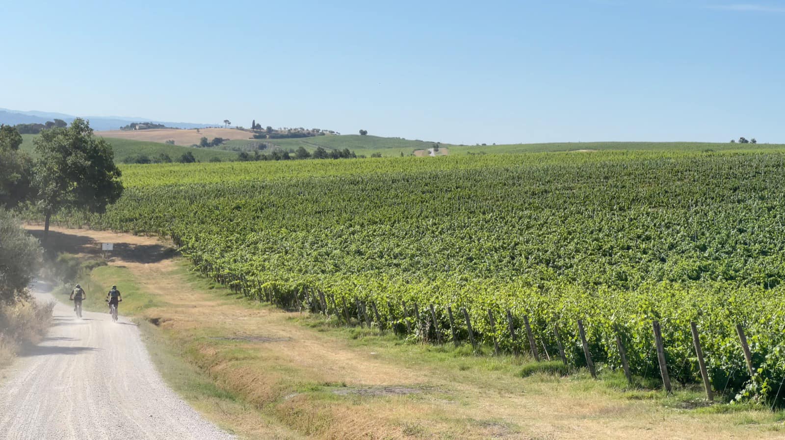
"Il Sentiero del Nobile" is a path of 18.3 km that begins from the Church of Sant'Agnese and winds along the sides of the hills that host the vineyards of the precious DOCG red wine of the same name produced in the territory of Montepulciano.
After reaching the temple of San Biagio, you enter a gravel road starting the descent towards the Valdichiana. Before returning to the paved road, the path runs along the spectacular area of the Balze, characterized by a stratified tuff cliff. Along via di Martiena you discover the Church of the Madonna della Querce, while continuing towards Cervognano the space opens up to the first vineyards of Nobile. Continuing on Via di Argiano towards the valley, you enter the Bosco delle Cerraie, where a characteristic forest path leads you to the shrine of the Madonna del Cerro. Leaving the wood, you head towards Lake Montepulciano, where the Sentiero del Nobile joins the Path of Reclamation.
13.4 Km
27.5 Km
9.1 Km
33.8 Km
14.5 Km
14.4 Km
24.5 Km
11.5 Km
17.3 Km
13.2 Km
12.2 Km
13.8 Km
32.0 Km
12.5 Km
10.7 Km
13.4 Km
10.2 Km
6.9 Km
8.5 Km
| Type of path | on foot; by bike |
| Starting point | Church of Sant'Agnese |
| Arrival point | Sentiero della Bonifica (Reclamation Path) |
| Distance (km) | 18.3 |
| Elevation loss (m slm) | 440 |
| Elevation gain (m slm) | 715 |
| Travel time on foot | 3h 45' |
| Type of road | Asphalt, gravel road, country path and forest path |